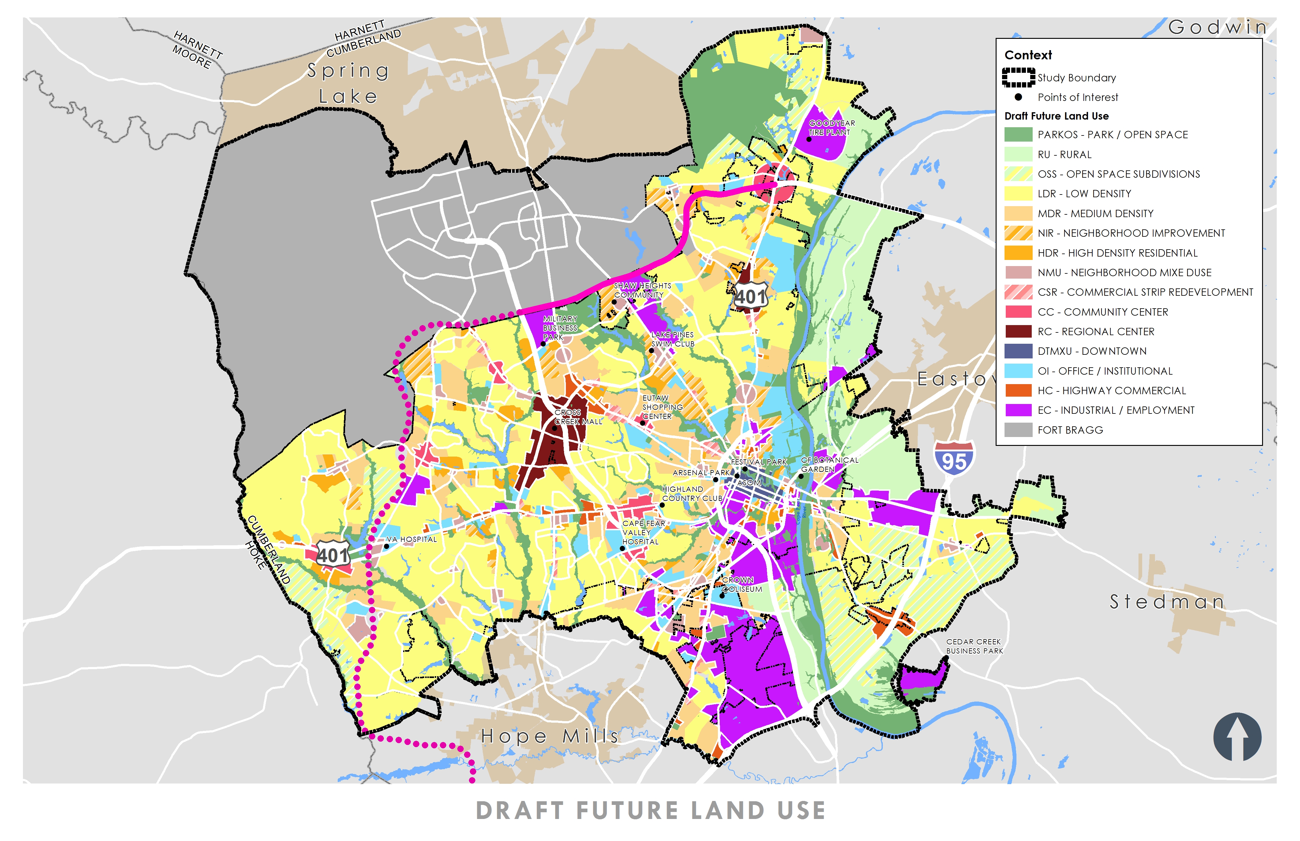
In April 2018, 13 area plans were analyzed for the City of Fayetteville. The plans reviewed included the Cumberland County 2010 Land Use Plan and the Cumberland County 2030 Growth Vision Plan. The analysis resulted in a document that inventoried, summarized, and assessed the City’s planning efforts from 1987-2013. The information from this new synthesized and updated map will coordinate with the City’s overall planning work.
The Stewart-led team created a new Future Land Use Plan for the City of Fayetteville. The Plan included a Future Land Use Map; Character Area descriptions, goals and objectives; and associated policies and implementation strategies. GIS analysis, plan review, and public involvement were all part of the effort.

